

Picket Mire
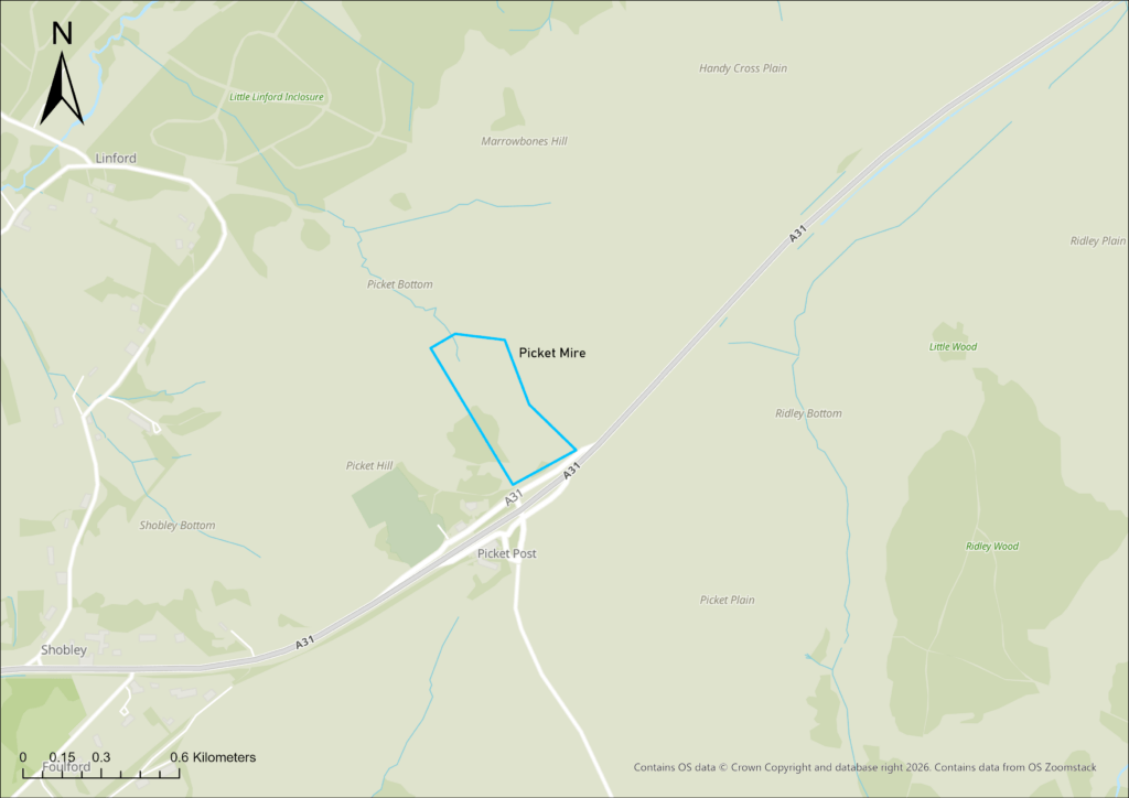
Picket Mire
Picket Bottom Mire is a mire catchment on the Open Forest, which drains into a small stream northwest into Little Linford Inclosure.
The watercourse runs through the inclosure, emerging onto the Open Forest again just before it joins Linford Brook.

What were the issues?
Earlier mire restoration work was undertaken in 2015 lower down in Picket Bottom Mire to repair three erosion points along the small stream channel, which had formed due to artificial drainage downstream. Restoration work aimed to repair these erosion points by filling them in with hoggin, helping protect and restore the nearby wetland habitats.
However, higher up in the Picket Bottom Mire catchment, the mire habitat remained in unfavourable condition as a result of a ditch and bank. This ditch was focusing the flow of water and causing erosion, drying out and damage to the adjacent wetland habitats.
'Naturally functioning systems are more resilient to coping with the climate change we are experiencing which is why it is so important to restore wetland habitats like Picket Mire so they can better cope with this change'
Lorna Bailey-Towler, habitat restoration officer at Forestry England
What's has been done
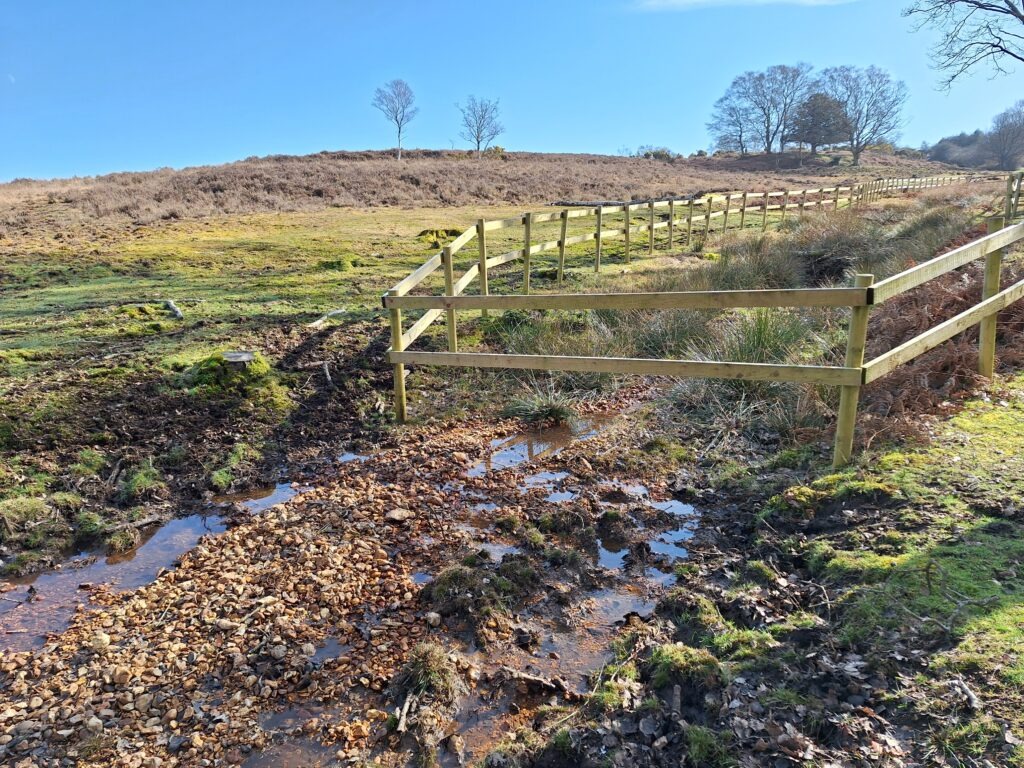
In 2023 and 2025, Forestry England undertook restoration work to remove the artificial ditch and bank which was causing erosion and drainage high up in the Picket Bottom Mire catchment.
The work involved removing sections of the bank and infilling the eroded sections of the incised channel to prevent further erosion of the mire habitat.
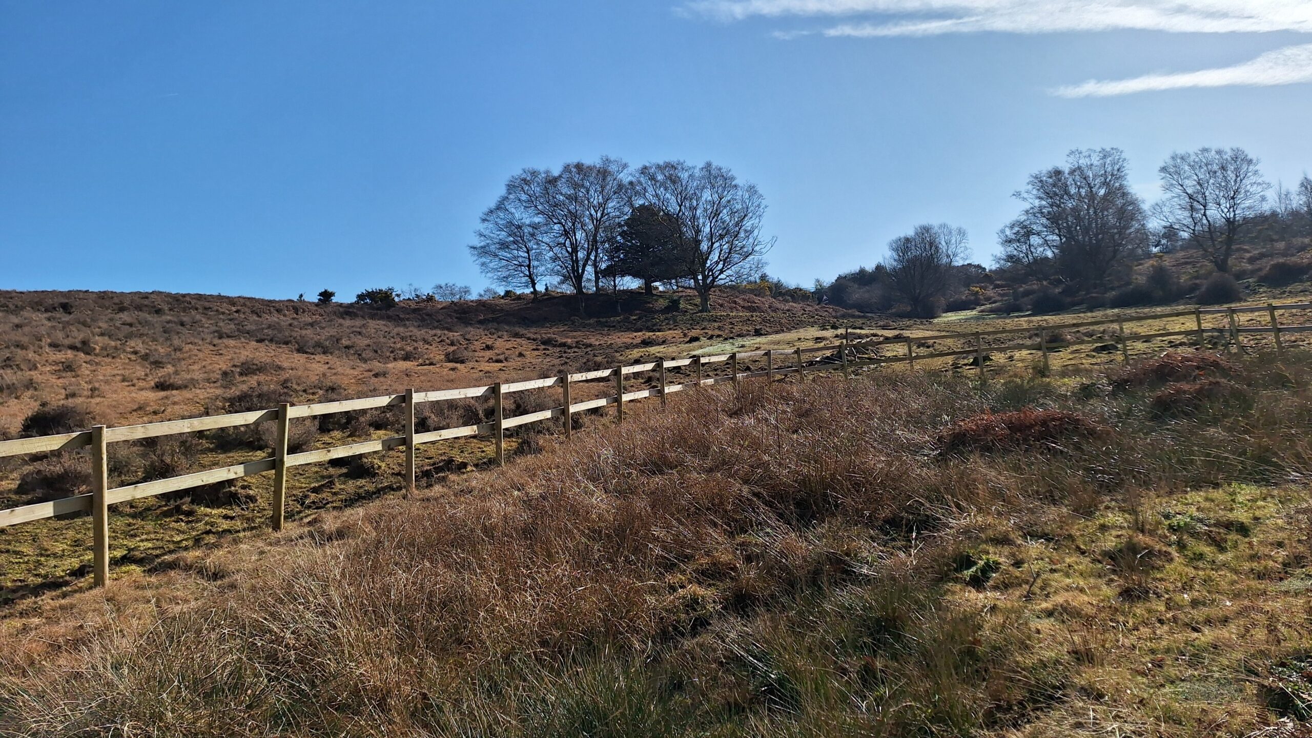
A temporary fence was erected around the restoration work to protect it from being poached by livestock whilst the habitat stabilises.
The restoration work has resulted in creating better floodplain connectivity, allowing water to be retained in the mire for longer. Hopefully, this will help prevent further erosion and protect the mire habitat.
Initial vegetation surveys indicate some of the wetland habitats have expanded, suggesting water is being retained within the mire for longer. Forestry England will continue to monitor the site and survey how the habitat recovers.